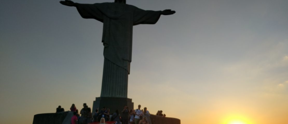
Just stepped off the plane from Rio and cannot wait to return. I still have the sand from Copacabana between my toes. In the meantime, google has posted this amazing experience about the great many people that live in Rio’s favelas. The favellas are such a huge part of Rio and yet very few tourists
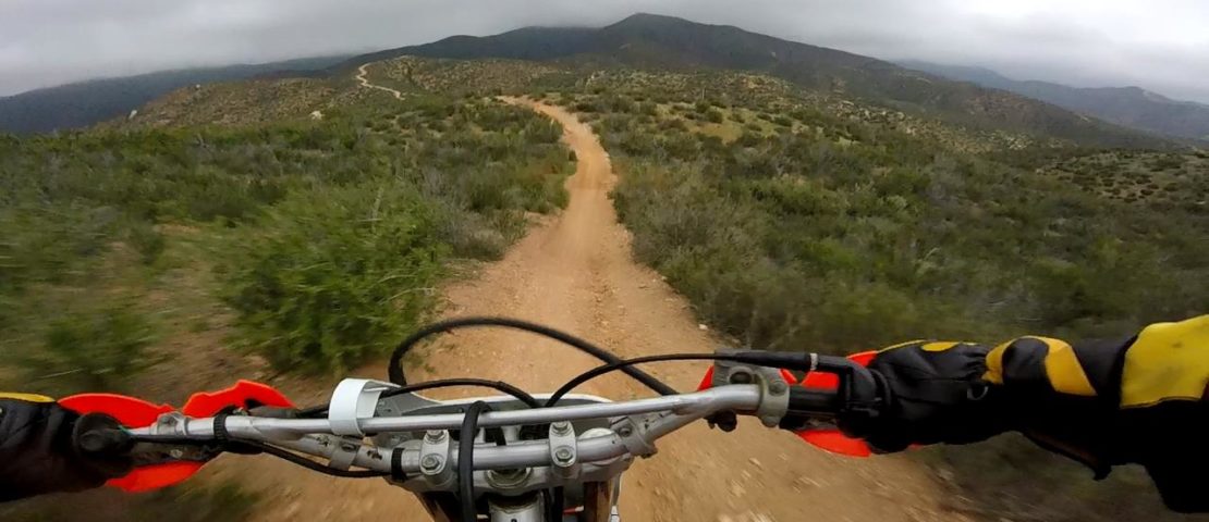
I’ll keep this post short and sweet. I’ve been GPS tagging a few OHV park maps that are provided by the California. I don’t know how many maps I’ve lost while riding Hungry Valley OHV park, so I thought I would overlay it on an established GIS map and geotag it. Update! I’ve also added


